When the Snow Doesn't Come
How Low Snowpack in the San Juans Tests BLM Land Management
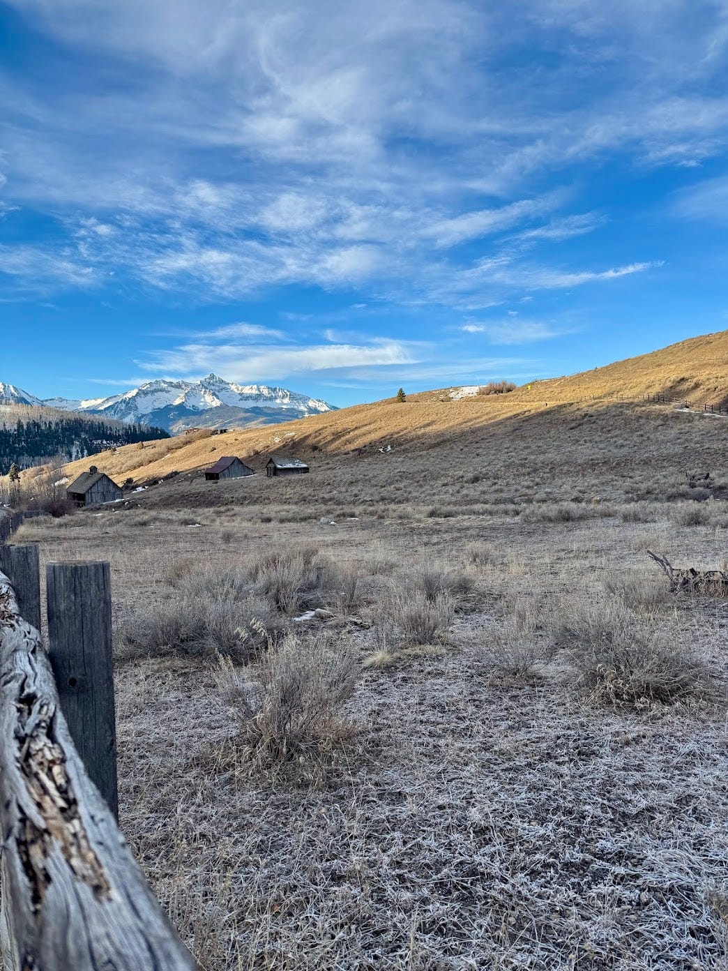
If you’ve been following this series, you already know that BLM lands and other federal public lands are managed under a complex web of mandates, agencies, and competing uses. The San Juan Mountains in southwestern Colorado are a good example of how that complexity plays out on the ground. The BLM’s Tres Rios Field Office manages more than 600,000 acres of public land and over 2.6 million acres of federal mineral estate (subsurface mineral rights owned by US and managed primarily by BLM), covering terrain that stretches from the Dolores River Canyon to the San Juans. This land supports grazing, energy development, recreation, wildlife habitat, and cultural resources—simultaneously under the multiple-use mandate we covered in A Beginner’s Guide to BLM Lands. But what happens when a natural disaster stress-tests that system in real time? The 2026 snow drought in Colorado’s San Juan Mountains offers a clear and sobering answer.
As of early April 2026, the San Miguel-Dolores-Animas-San Juan River Basin — the headwaters of some of the most important river systems in the American Southwest — was at just 19.5% of median snowpack. Colorado is experiencing its lowest snowpack levels since record-keeping began in 1941. This isn’t just a bad ski season. It’s a governance crisis playing out across millions of acres of public land.
What’s happening on the ground
In Durango, outfitters on the Animas River are already adapting. RiverTrippers began running trips earlier than usual this season, switching to smaller boats suited for low flows and reframing the experience for families rather than whitewater enthusiasts. It’s a good example of the kind of ground-level adaptability that local businesses have developed out of necessity — but it also illustrates a broader point: the people with the most on-the-ground knowledge are often the ones with the least formal influence over the decisions that affect them.
Further south, Navajo Reservoir is currently sitting about 60% full — roughly 50 feet below full pool. The reservoir is a critical upstream control point for the Colorado River Basin, and its drawdown is already limiting boating and camping access. For gateway communities like Durango and Pagosa Springs, the economic ripple effect is significant. Low snowpack conditions can trigger decreased visitation, hotel cancellations, and reduced retail sales — hitting small businesses that have limited reserves to weather a slow season. Ecologically, low snowpack accelerates wildfire risk and drought-related erosion, both of which can force recreation closures and compound an already difficult management situation.


Who makes decisions and when
In March 2026, Governor Polis activated Colorado’s Drought Task Force through the Department of Natural Resources — a state-level body that brings agencies together to share data and coordinate responses. It sounds like a reasonable system. The problem is that record warm temperatures and below-normal precipitation had been driving snowpack to record lows since October 2025. The state was responding to a crisis that had been building for five months.
This reactive pattern is one of the central challenges of drought management — and it’s fundamentally different from managing a wildfire or a flood. Wildfires and floods are sudden. Drought is slow-moving, which makes it politically difficult to mobilize a response before conditions become severe. By the time the Drought Task Force is activated, outfitters have already adjusted their schedules, ranchers are already rationing water, and tribal communities are already operating on a fraction of their allocated supply.
At the federal level, agencies like the U.S. Forest Service and BLM manage the public lands of the San Juan Mountains, while the Bureau of Reclamation operates the infrastructure — including Navajo Dam — that controls how water moves through the system. These agencies operate under different mandates, on different timelines, with different chains of command. The Colorado Drought Task Force can coordinate state agencies, but it cannot direct federal water management decisions. That gap between the body that coordinates and the body that actually controls the water is where drought response most often breaks down.
Who is missing from the conversation
Even where coordination exists, key voices are frequently absent.
Outfitters and small recreation businesses — the people with the most real-time knowledge of how drought is affecting visitor experience — often have no formal seat at the planning table. The same is true for tribal nations with legally recognized water rights in the basin.
The Ute Mountain Ute Farm and Ranch Enterprise, for example, plans to operate on just 10% of its allocated Colorado River water this summer due to low snowpack. Tribal water rights in the Colorado River Basin are among the oldest and most senior in the system — yet tribal nations are frequently excluded from formal drought planning processes. Given that many tribal water rights claims in the basin remain unquantified and unsettled, making decisions without tribal input doesn’t just create a governance gap — it perpetuates an inequitable system where those most affected have the least influence.
Adding to the coordination challenge, research from the National Integrated Drought Information System found that outfitters and recreation businesses report drought monitoring resources are scattered across multiple agencies and platforms, making it difficult to get timely, actionable information. In some areas, this gap is being filled by nonprofits rather than government agencies — a sign of how much informal coordination is carrying the weight that formal systems aren’t.
What needs to change
Three gaps stand out as most urgent. The first is the information gap. A consolidated drought forecasting dashboard managed at the state level with input from recreation businesses, tribal nations, and local governments. It would give decision-makers and affected communities access to the same information at the same time. Right now that doesn’t exist in any meaningful way.
The second is the reactive posture of the current system. Quarterly proactive Drought Task Force meetings with early stakeholder notification would allow businesses to make procurement decisions, staffing plans, and trip scheduling adjustments before conditions become critical rather than after. Early warning and proactive preparation are essential for communities to build resilience — but the current framework consistently lags behind the conditions it’s meant to address.
The third is tribal inclusion. Permanent tribal representation in drought planning processes isn’t just good governance — it’s a legal and ethical necessity given the scope of tribal water rights in the Colorado River Basin. Drought decisions made without tribal input are decisions made without the full picture.
Why this matters for public lands
The 2026 San Juan drought is not an isolated event, it’s a preview of what public lands management looks like as drought becomes a permanent feature of western landscapes rather than a periodic disruption. The BLM, USFS, and Bureau of Reclamation were built for a different climate. Their mandates, planning cycles, and coordination structures were not designed for the pace of change that land managers are now facing.
Understanding how these systems work, and where they break down, is part of what it means to be an informed public lands citizen.


