Long, Hard, and Epic
My favorite hike in the North Cascades
Now that I have your attention, let’s talk about my favorite hike in the North Cascades.
It's 5:00am and my alarm is going off...again. I'm 2.5 hours from the trailhead and already running behind. At this rate there's no way I'll be in Seattle by 4pm. I put on my hiking clothes, make coffee from the knockoff Keurig, grab my luggage and head to Bessy—yes, I named my rental car. I say my final goodbyes to Mazama's three stores as I pull out of town and head to the Cascade Pass trailhead on the south side of the park.
Getting there:
The driving directions from Mazama are quite simple, take Highway 20 to Marblemount, turn onto Cascade River Road, and continue until the end. I’d been warned of this road ahead of time and had prepared myself for the 23 mile bumpy ride. To nobody's surprise it was indeed bad. I'd equate navigating potholes for 23 miles to the 8 seconds bull riders must endure, not that I have personal experience, it’s just a hunch.
Time to get moving:
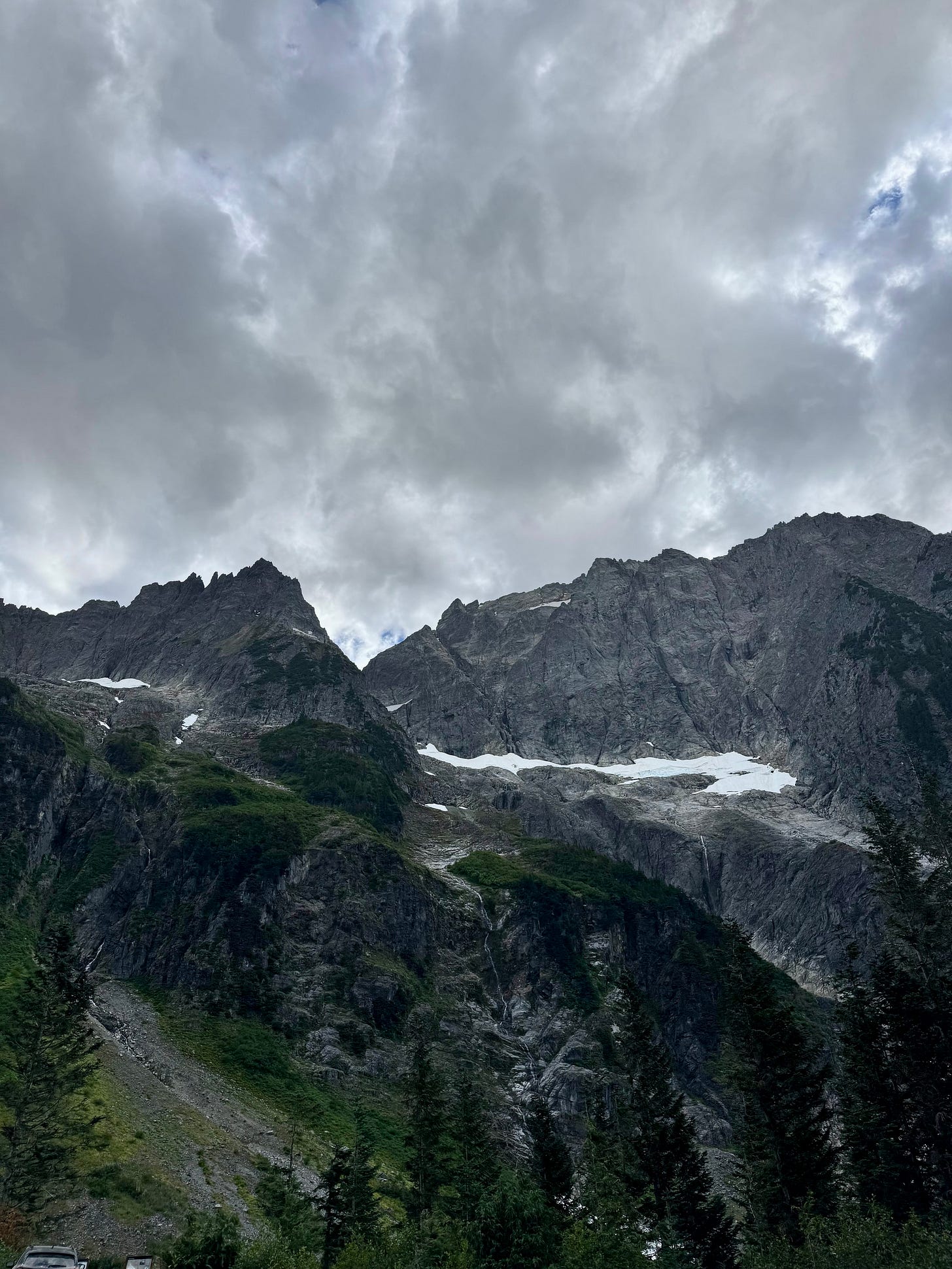
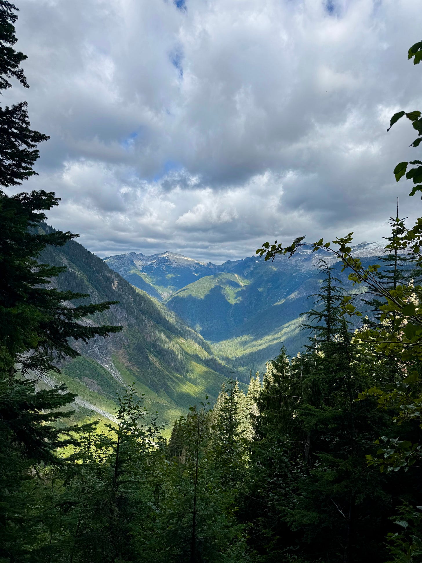
I pulled into the trailhead at 8:30am and after loading my pack with snacks and multiple layers started my journey a little after 9am. Cascade Pass and Sahale Arm has been on my bucket list and if the glacial views from the parking lot were any indication this was bound to be an epic day, boy was I wholly unprepared. Nestled in the southern section of The North Cascades National Park, the trail starts in a lush rainforest with 33 switchbacks gaining just under 2,000 feet over three miles. There aren’t many views during this first section, but you do get the occasional tease of what’s to come.
A brief timeline and historic interlude of Cascade Pass :
The pass is rich in history starting as early as 9600 BCE. Alexander Ross, a fur trader, was the first to make a historic crossing of the North Cascades through Cascade Pass, and in 1880 CE, the Skagit Indians used the pass to seek aid from the Columbia River Indians during hostilities between Native Americans and non-native land surveyors.
Back on the trail:
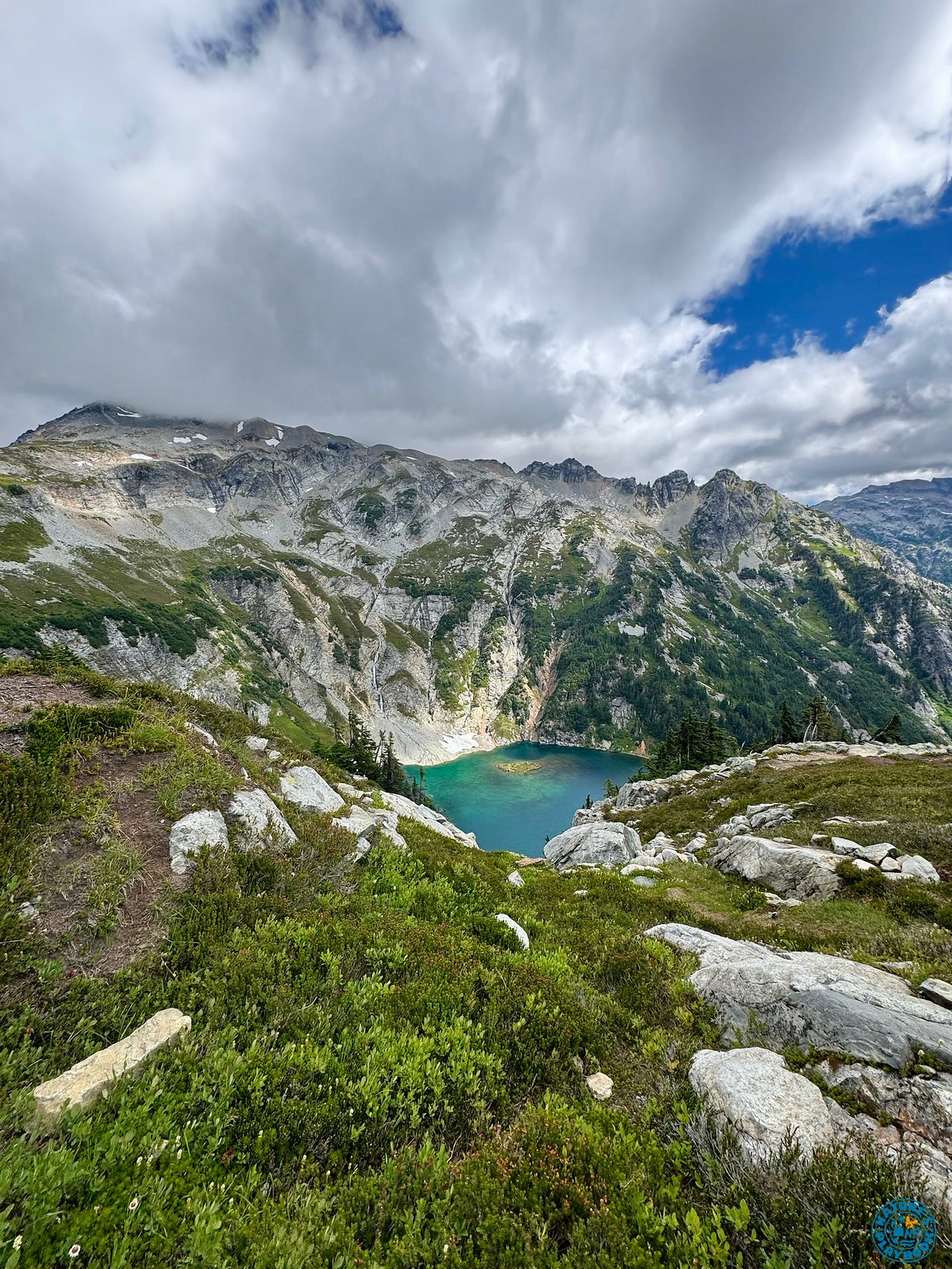
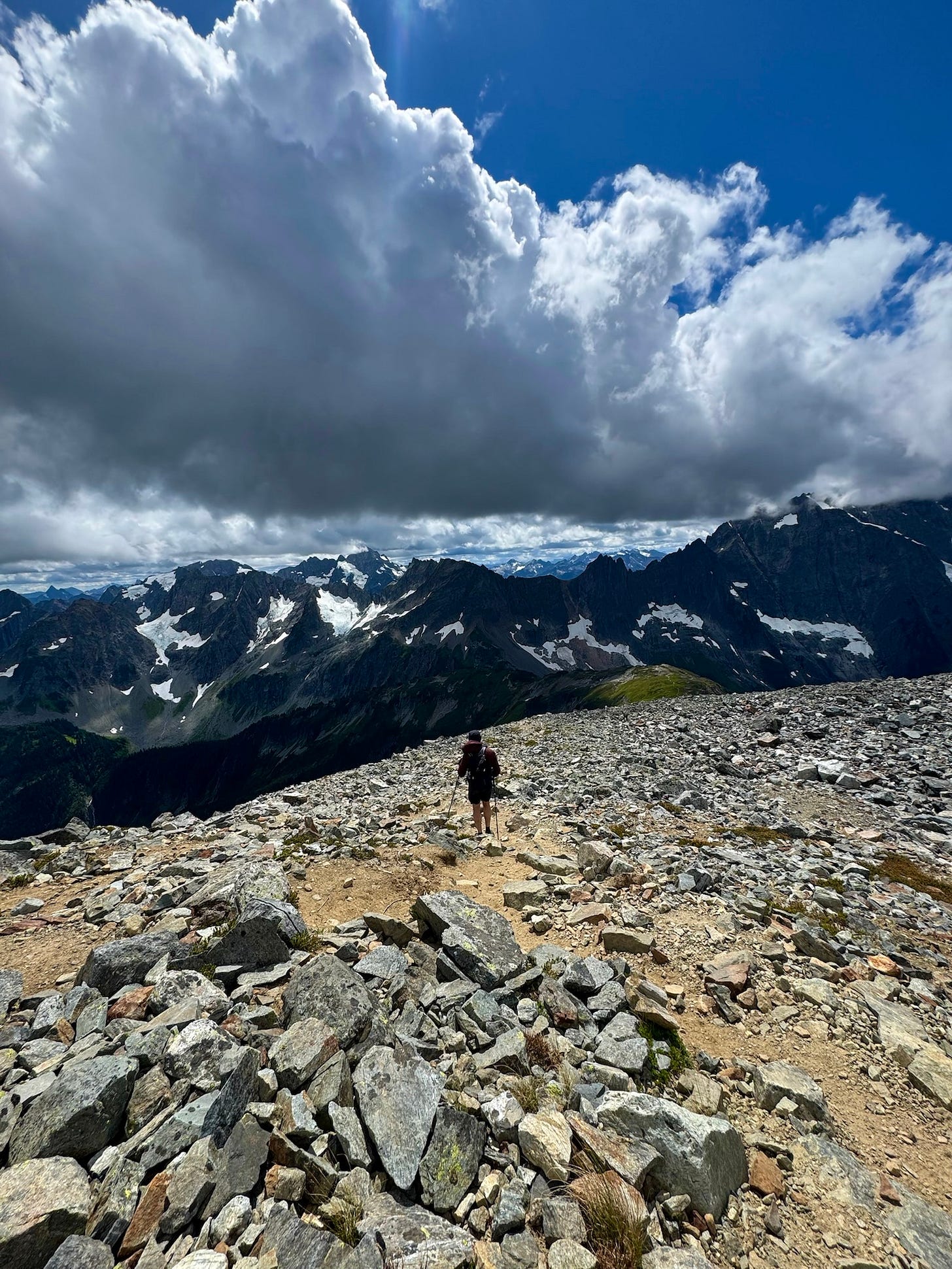
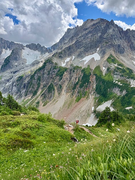
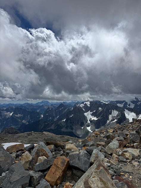
Once you’re through the first set of switchbacks, the forest opens into epic mountain views that just keep coming. From the end of the switchback section to the Sahale trail merge is just under a mile and 200 feet of gain. The trail merge to get off Cascade Pass and onto the Sahale Arm trail is a great place to have a snack before continuing your journey up to the glacier. If you continue another mile, there’s another epic break spot overlooking Doubtful Lake.
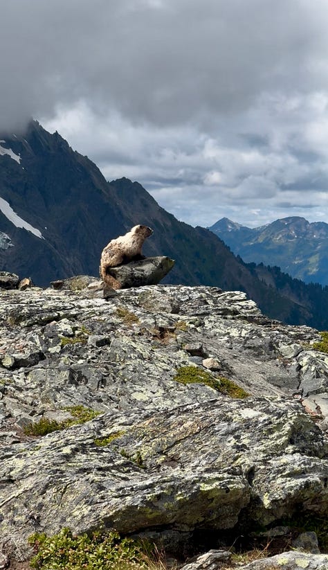
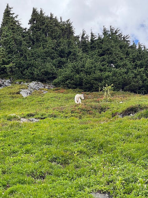
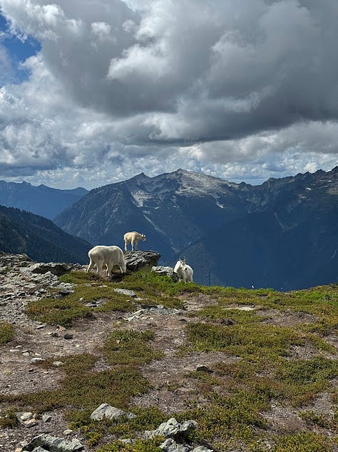
The Sahale Arm trail is about 3 miles with 2,200 feet of elevation gain that gradually gets steeper and more technical as you approach the summit and campsites. Since the views were so breathtaking you don’t really notice the elevation gain. There were frequent marmot sightings and this is around the time our mountain goat parade began.
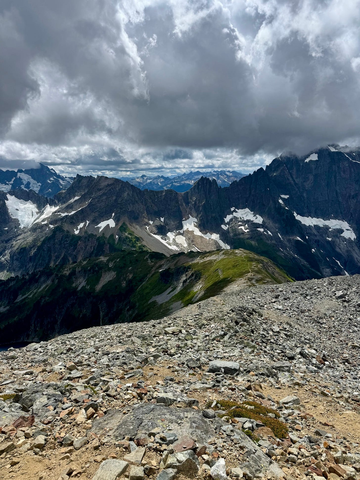
The final mile is the hardest section of the hike, a rock scramble gaining over 1,000 feet of elevation and requiring frequent route finding since the trail disappears. I was really happy to have my hiking poles for these final two sections.
When you reach the summit the trail ends and there’s a sign pointing to the “toilet” and campsites—I can only imagine this must be the most epic spot to relieve oneself. I wanted to get closer to the glacier and find a spot for lunch so explored the ridgeline.
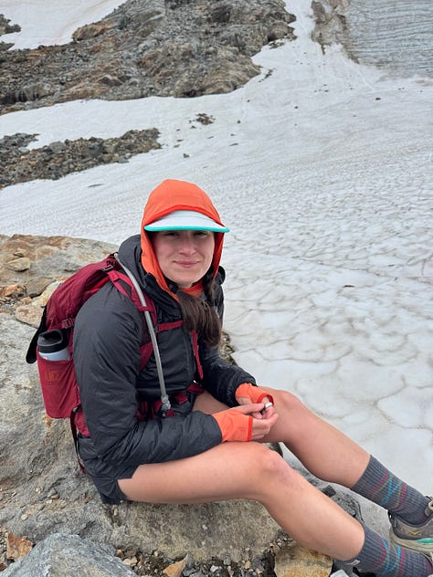
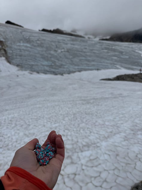
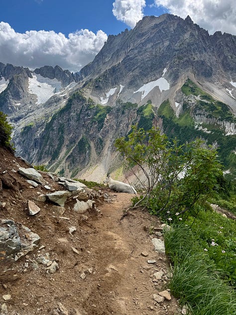
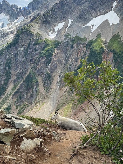
After some refueling it was time to start our descent. I’m not the biggest fan of downhill scrambles but this one wasn’t that bad. It was definitely the longest part of the descent, but overall wasn’t as bad as I expected. Almost immediately after conquering the scrambling section was when the mountain goat parade started. If it wasn’t for this, we probably would’ve made it back to the car a lot faster.
Out of all wildlife, I seem to have the most frequent experience with mountain goats. Usually they’re not a problem, but when there’s a whole family blocking the trail in multiple locations, it can make for a very slow trip back to your car.
Final miles and final thoughts:
At this point it was starting to get late and a very angry cloud was looming a bit too close for comfort. Picking up the pace I saw a large black blob moving down the trail up ahead. I took my phone out and zoomed in, trying to make out what it was but it was too blurry…it was later confirmed that two black bears, a mama and cub, had been walking down the trail.
As the parking lot came into view through the trees I was both happy and sad. My fairytale of a day was coming to an end.
In all, this hike took 8 hours roundtrip and I logged just under 13 miles and 4,500 ft of gain. It’s a long day but I promise you’ll be happy you did it.
Check out my post on the NP app for videos and more info on this epic adventure!


