

A Beginners Guide to BLM Lands

This post is part of our ongoing series on public lands. If you haven't already, check out our Intro to Public Lands before diving. It covers the basics of what public lands are, who manages them, and how federal designations work.
What is the BLM
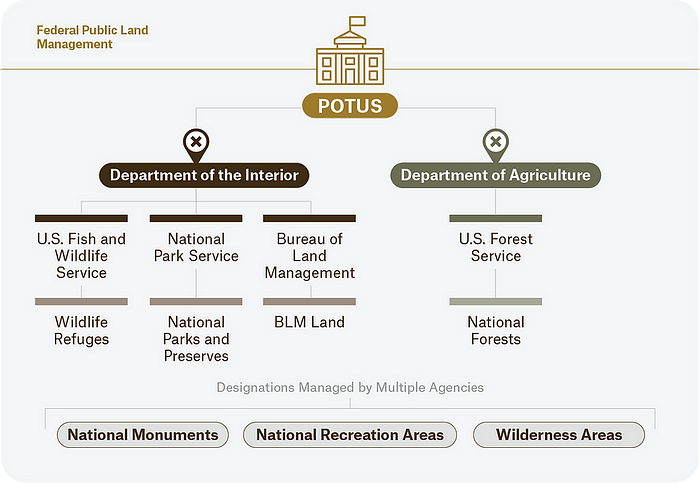
The Bureau of Land Management (BLM) is one of four primary land management agencies in the US. It sits within the Department of the Interior (DOI), alongside the National Park Service (NPS), and US Fish and Wildlife Service (USFWS). The BLM was established in 1946 through the merger of the General Land Office and the Grazing Service.
In order to understand what the BLM actually does, you have to understand the law that defines it. Before 1976, the BLM was operating under a patchwork of outdated, often conflicting statues with no unified direction. Growing concerns over mismanagement and degradation of public lands—vandalism, overuse, destruction of natural resources—pushed congress to respond resulting in Federal Land Policy and Management Act of 1976 (FLPMA).
FLPMA reversed more than 160 years of federal practice that had focused on transferring public land into private hands—through homesteading, land sales, and development grants—declaring that public lands would remain in federal ownership for the benefit of all Americans—we will revisit this.
This gave the BLM a unified mandate resting on two principles: multiple use and sustained yield. The term “multiple use” is defined in the law as managing public lands so that they are used “in combination that will best meet the present and future needs of the American people” (Federal Land Policy and Management Act of 1976, 1976). This means that a piece of BLM land would simultaneously support cattle grazing, oil and gas extraction, recreational use, renewable energy development, and wildlife. The second principle is sustained yield which requires that this mix of uses be managed so that the land remains productive over the long-term. Together, these two principles reflect the BLM’s mission to sustain the health, diversity, and productivity of public lands for the use and enjoyment of present and future generations.
That tension is playing out right now. In 2025, Congress used the Congressional Review Act (CRA)—previously never applied to land management plans—to overturn BLM resource management plans in Montana, North Dakota, and Alaska. The North Dakota plan had restricted coal and oil leasing on millions of federally managed acres; its repeal marked the first time in history that Congress had directly nullified a BLM land use plan. Because the CRA bars agencies from issuing “substantially the same” rule in the future, the move didn’t just reverse one plan — it may permanently foreclose similar management approaches in those areas without new legislation.
How much land and where is it
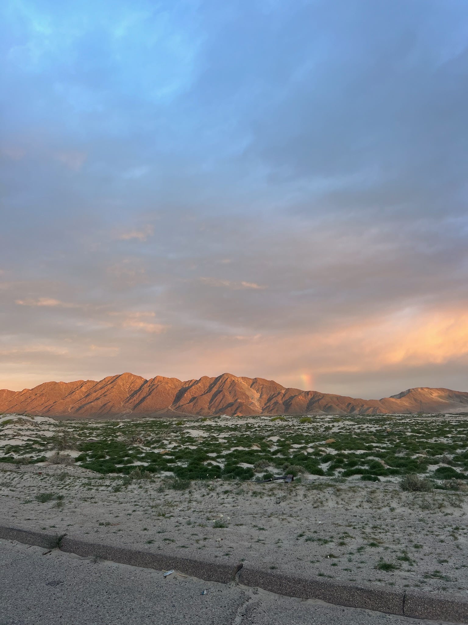
So how much land is there? The agency manages approximately 245 million acres of surface land and holds subsurface mineral rights on an additional 700 million acres. To put that in context, it’s more land than the entire state of Alaska, and while Alaska might look small on a map, it is most certainly not.
Almost all of BLM land is in the West and concentrated in twelve states. In Nevada, the BLM manages nearly 48 million acres (more than half the state), with Utah and Idaho close behind.
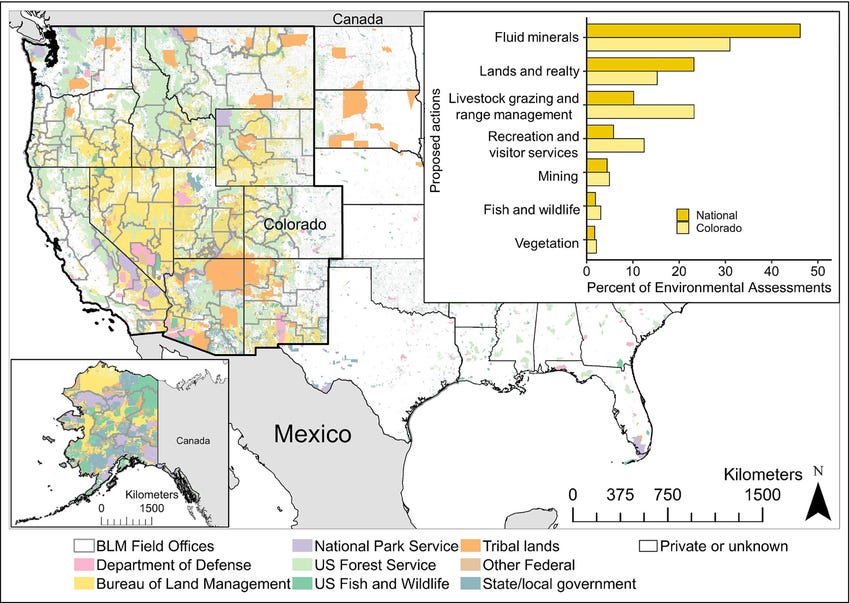
You can see all BLM managed surface lands on this interactive map.
Why so much in the west?
Well, it comes back to how the country was settled. On the East Coast nearly all land passed out of federal ownership before the BLM existed—through land grants, treaty arrangements, and the Homestead Acts of the 19th century. By the time the federal government shifted to retaining public land instead of getting rid of it, there was just very little left. This is why the conversation of outdoor access on the East Coast has traditionally been more centered around private land. The West, however, was still being settled when that policy shift happened.
During the 19th century, the federal government encouraged private settlement of public land through the Homestead Acts. The lands that eventually became BLM holdings were largely the parcels that homesteaders passed over — too arid, too remote, or too rugged to farm. Rather than sell them off, the government retained ownership, and those leftovers eventually accumulated into the largest land management portfolio in the country.
How is BLM land different from other public lands
As covered in our intro to public lands, federal land management agencies sit along a spectrum — from strict conservation to active resource extraction. Understanding where BLM lands fall on that spectrum requires a quick comparison with the two agencies it is most often confused with: the National Park Service and the U.S. Forest Service.
The NPS sits at the conservation end where national parks are managed to keep landscapes unimpaired for future generations. The emphasis is on preservation and visitor experience, which is why national parks have entrance fees, paved roads, maintained trails, and ranger stations.
The USFS is in a middle position, managed for multiple uses including timber, grazing, water conservation, wildlife habitat, and recreation. However, the emphasis leans toward resource management within forested landscapes. For example, the Boundary Waters (BWCAW) is managed by the USFS under the USDA, but the debate over sulfide-ore copper mining on adjacent federal lands has involved both the USFS and the BLM (even where USFS manages the surface, the BLM controls the federal mineral leasing process underneath it). This splint between surface rights and subsurface rights is one of the less visible but most consequential aspects of how of how BLM’s authority works in practice.
The BLM sits furthest toward the multiple-use, extractive end of the spectrum. BLM lands generally offer a wider variety of permitted uses than National Parks or National Wildlife Refuges. There are generally fewer fees, less infrastructure, and less regulation than you’d find in a national park or even a national forest.
BLM holdings are often fragmented, patchwork parcels spread across vast landscapes which is part of why they’re harder to recognize and pick out than a national park.
Closing thoughts
BLM lands are a foundational piece of America’s public lands system—and yet for many people, they remain largely unfamiliar. Understanding what the BLM is, where its authority comes from, how much land it manages, and how it differs from the agencies you may already know is the starting point for understanding some of the most consequential land use debates happening in the country right now. Whether you’ve camped on BLM land without knowing it, or you’re encountering the agency for the first time through a news headline, the basics covered here are the foundation everything else builds on.
Next week we’ll dive into how BLM land is actually managed day to day, what happens on it, the special designations that exist within it, and why all of it matters, especially right now.